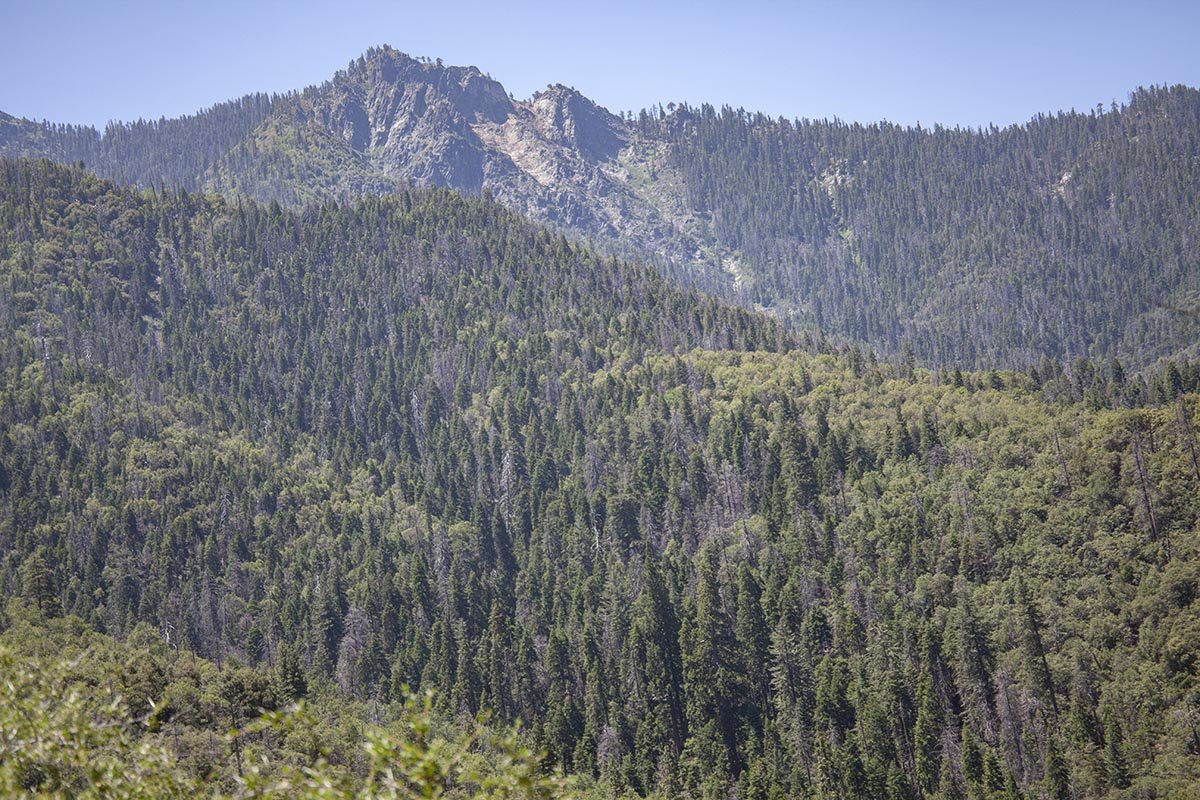
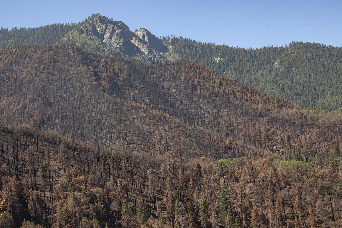
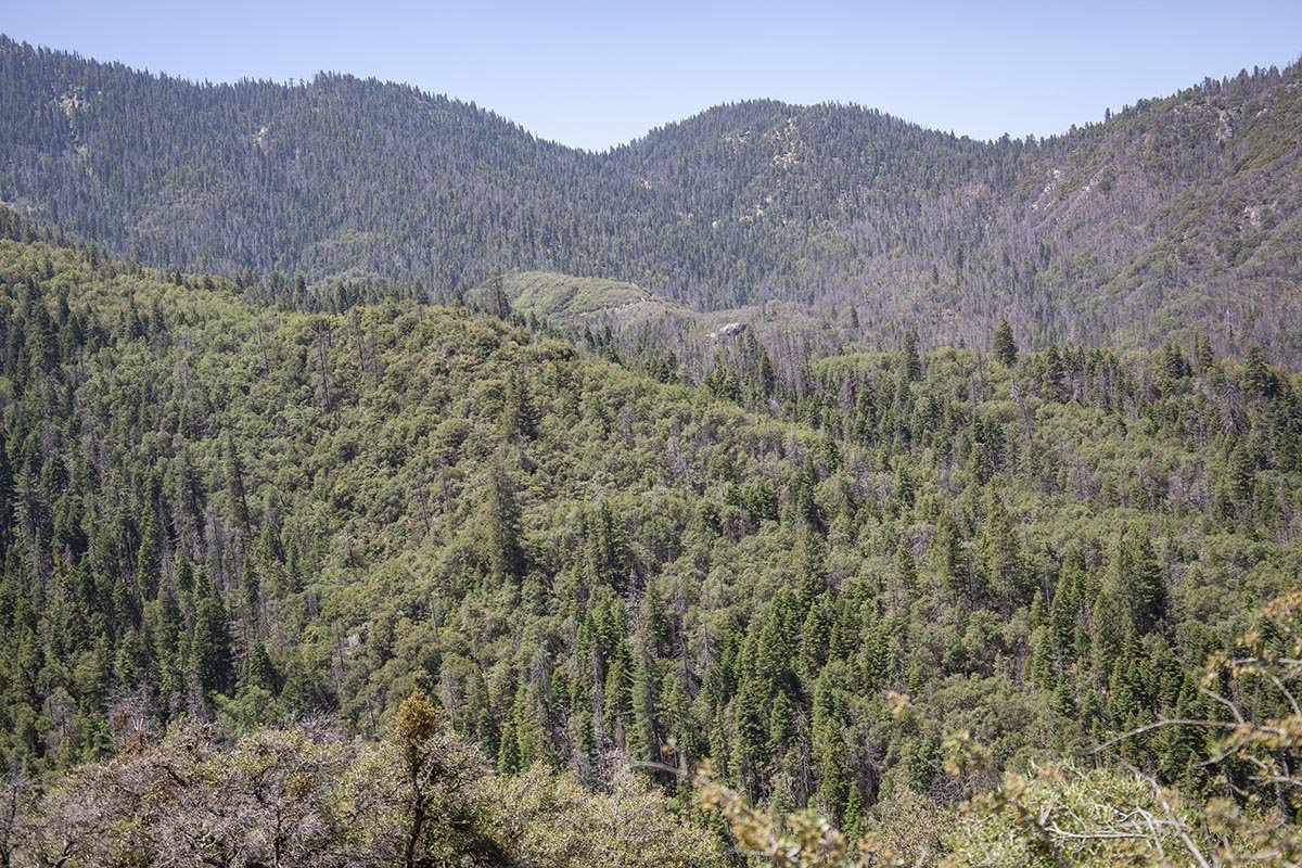
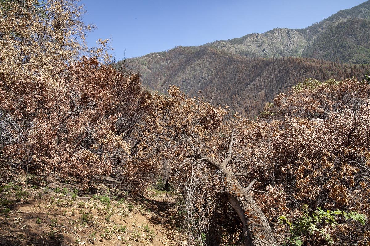
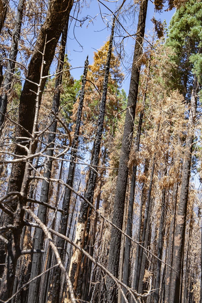
Bear Creek Trail
Following Bear Creek Trail starting from Forest Route 21S94, the road to Coy Flat Campground. Photographs taken in July 2019 and July 2021.
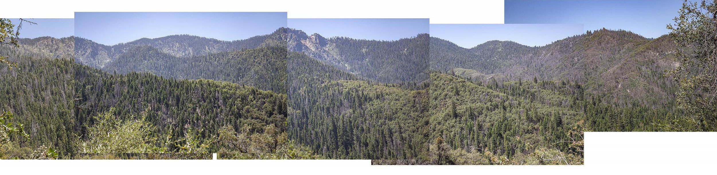
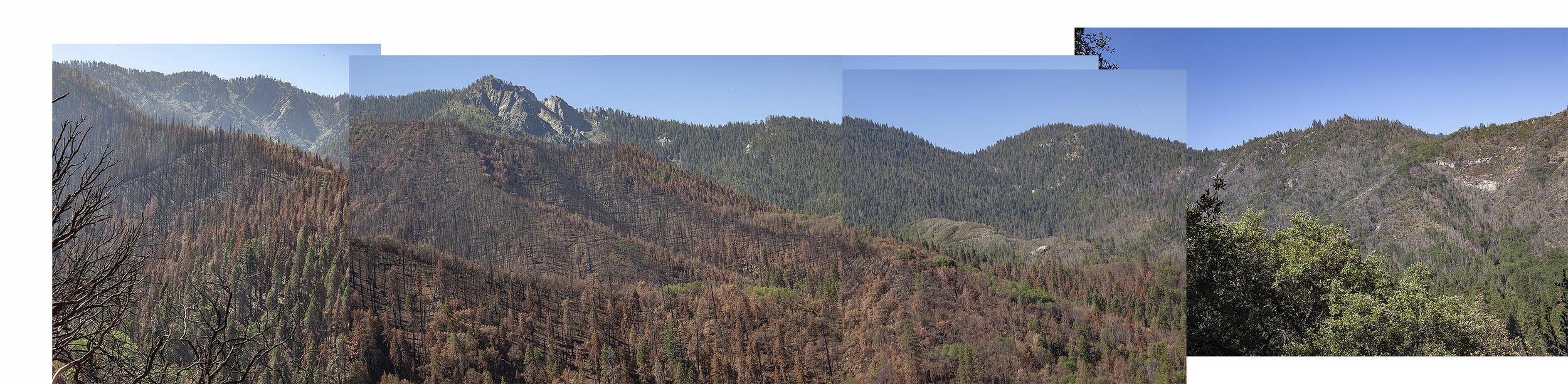
Composite photograph of ridge above Bear Valley Creek, photographed from Bear Valley Trail. Top composite July 2019, bottom July 2021, the year after the Castle/KNP complex fire.